
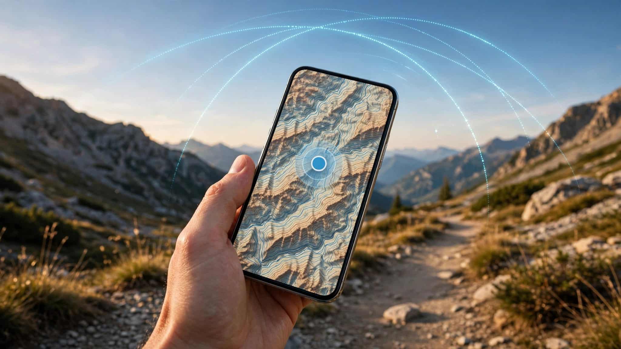
You can find your location with GPS without cell service because your phone receives positioning signals from satellites, not cell towers. The part that often needs an internet connection is the map, so downloading the area before you leave makes a big difference.
This distinction can be comforting when your phone displays “No Service” somewhere unfamiliar. It can also be confusing when the blue dot appears, but the streets around it don’t.
So how does one find a location when the bars disappear? The answer starts with understanding what your phone receives from space and what it needs to have saved on the ground.
This post may contain affiliate links. If you make a purchase through these links, I may earn a small commission at no extra cost to you.
Can GPS Work Without Cell Service?
Yes. A phone with a working GPS receiver can determine its position without a cellular connection, provided it can receive the satellite signals it needs. You don’t need a mobile data plan for the satellites to broadcast those signals.
GPS stands for Global Positioning System. As GPS.gov explains, it’s a U.S. system that provides positioning, navigation, and timing information. Your phone listens for the signals and uses them to calculate where it is.

Your map app has a separate job. It displays the roads, paths, and other features that make your position useful. If that information hasn’t been saved and the app can’t download it, you might know where you are in a rather unhelpful way: a dot on an otherwise empty screen.
How Does a Phone Work Out Where It Is?
Your phone doesn’t ask a satellite for directions. It receives signals that contain information about the satellite and the time the signal was sent. Because radio signals travel at a known speed, the phone can use their travel time to estimate its distance from satellites.
Satellites provide reference points
Imagine knowing how far you are from a landmark but not knowing which direction to look. You could be anywhere around it. Add distances from other landmarks, and the possible locations narrow down.
GPS uses a mathematical process called trilateration. The phone combines satellite information to calculate a position and account for the timing involved. It’s a neat piece of mathematics to carry in your pocket, especially when your main concern is finding the trailhead.
The phone does the calculating
The satellites broadcast reference signals in one direction. According to GPS.gov’s satellite FAQ, they don’t track devices on the ground or receive messages from your phone.
That doesn’t mean every map app is private. An app may handle location information according to its permissions and services. The point is that receiving a GPS signal doesn’t require your phone to send its location back to a satellite.
What Needs to Be Saved Before You Leave?
Knowing your position is useful only if you have something to compare it with. Before a trip, think about the area you want to see and the details you’ll need once you’re there.
Save the whole area, not only the destination
A downloaded map should cover your starting point, destination, and the area between them. If you’re heading into the mountains, include the trailhead and surrounding roads as well as the trail itself.
Leave room around your planned route. A road closure, an unfamiliar junction, or a missed turn can leave you outside a tightly cropped download. A little extra map is easier to arrange while you’re still at home than while you’re staring at a blank patch of screen.
Keep useful details where you can reach them
Write down or save the address of your accommodation, trailhead, parking area, or other destination. For a trip abroad, keeping an address on paper can be helpful if you need to show it to someone.
If coordinates are relevant to your trip, save them too, along with a description of what they identify. A string of numbers is much more useful when you remember whether it marks your car, a campsite, or the beginning of a trail.
How to Download Maps for Offline Use
Google Maps and Apple Maps both let you save an area for use without an internet connection. Download the map while you’re connected, and give yourself enough time to look over the area before you leave.

Saving an area in Google Maps
In Google Maps, open your profile menu and look for Offline maps. Choose an area, adjust the displayed box to cover the places you need, and download it.
Google’s instructions for downloading and using offline maps explain that a saved area can help guide you when your internet connection is unavailable. Before setting off, open the downloaded area and make sure it covers your intended journey.
Saving an area in Apple Maps
On an iPhone, open Apple Maps and look for Offline Maps in your profile menu. Choose a new map, search for an area, and adjust the selection before downloading it.
Apple’s offline Maps instructions describe how to save an area for use without Wi-Fi or cellular service. A downloaded map is useful for the whole journey, not just the spot you expect to visit.
How Do You Find Your Location Once You’re Offline?
Open the map you saved and give your phone an opportunity to receive satellite signals. Your position can then appear on the map, giving you a starting point for understanding the area around you.
Read the map alongside your surroundings
Look for several features that agree with what you can see. A road junction, a river bend, and a distinctive ridge together tell you more than one vaguely familiar hill. On a city street, the intersection and nearby buildings can help you make sense of the display.
This is especially useful when trails run close together. A line on a screen may look straightforward, while the ground offers several paths and a sign that has seen better days.
Distinguish position from direction
Your position tells you where you are. A direction indicator tells you which way the device believes you’re facing or moving, depending on how that indicator works.
Those are different pieces of information. An arrow can help orient you, but it doesn’t prove that you’ve identified the correct trail or destination. If the arrow and your surroundings seem to disagree, pause and compare the map with more than one landmark.
What If the Map Doesn’t Show What You Need?
An offline map is a saved piece of information, so it can’t tell you about every change that happens after you download it. Treat it as a useful reference, not a guarantee that a road or path is open.
A destination can be clear while the route is not
A saved destination may tell you where you’re trying to go. Getting there still requires a route that makes sense for your situation. A direct line across a map, for example, doesn’t tell you whether a river can be crossed safely.
Before a hike, study the route and the surrounding terrain. Our guide to preparing for a mountain hike covers the broader planning that belongs alongside your map.
Familiarize yourself with the area first
Spend a few minutes looking at the route while you still have access to your planning materials. Notice major junctions, landmarks, and places where you intend to turn around.
This doesn’t mean memorizing every bend. It means that if a path or street doesn’t match what you expected, you’ll have a reason to stop and look more carefully instead of following the first plausible option.
What Can Interfere With Finding a Position?
Satellite signals need to reach the receiver. A phone may have difficulty receiving them inside a building, underground, or in a tunnel. If your position isn’t appearing, moving to a safe place with a clearer view of the sky may help.
A phone also needs to be working to show you its map. Charge it before leaving and consider carrying a portable charger on longer outings. Keep the device protected from conditions that could damage it.
If you can’t establish where you are, resist the temptation to keep moving simply because one direction feels promising. Pause somewhere safe, return to a known point if you can do so safely, and compare your surroundings with your other navigation materials.
For travelers exploring an unfamiliar city, solo travel safety planning can help with practical details such as keeping an address accessible and knowing where you intend to go.
Why Bring a Paper Map and Compass?
A paper map doesn’t need charging, and it can show a larger area at a glance. A compass can help you orient that map, provided you know how to use both and understand the map’s north reference.
These tools aren’t magical solutions on their own. A compass tells you a direction; it doesn’t tell you which valley you’re in. A map becomes more useful when its features match the ground around you.
If your compass and other clues disagree, take that disagreement seriously. Our discussion of finding direction when a compass fails explains why a single landmark or direction indicator isn’t enough to establish a position.
For a remote hike, let someone know your planned route and when you expect to return. Navigation tools help you understand where you are, while a shared plan gives someone else a starting point if you don’t return as expected.
A Blue Dot Is a Starting Point
GPS can help you find your position without cell service because satellites broadcast signals your phone can receive independently of a mobile network. A downloaded map gives that position context.
The most useful preparation happens before the bars disappear: save the area, understand your route, and bring a backup that suits the trip. Then the blue dot can be what it does best, a helpful clue about where you are, rather than the only thing standing between you and the way home.


