
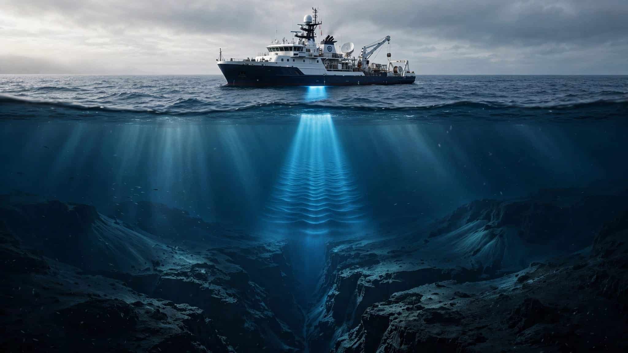
Finding the deepest point in ocean terrain begins with sound, which travels through seawater far better than light.
Scientists use sonar to send sound pulses toward the seabed and time their return. That sounds straightforward, until you’re measuring nearly 11 kilometers of water and trying to distinguish a genuine depression from an instrument error.
Sonar provides the initial measurement, but confirming the bottom takes considerably more care.
This post may contain affiliate links. If you make a purchase through these links, I may earn a small commission at no extra cost to you.
Key Takeaways
- Challenger Deep, in the Mariana Trench in the western Pacific Ocean, is the deepest known part of the ocean. A pressure-based study estimated its deepest observed seafloor at 10,935 meters below mean sea level, with an uncertainty of about 6 meters.
- Scientists use sonar to map the seafloor by timing sound pulses as they travel down and return. Repeated, overlapping survey lines help locate deep basins and reduce gaps in the map.
- Ocean depth measurements can differ because sound speed, instrument resolution, ship motion, and other conditions affect readings. Comparing results means considering how each measurement was made and its uncertainty.
- The Mariana Trench formed where the Pacific Plate bends and sinks beneath the Mariana side at a subduction zone. Its deepest habitats also support organisms such as amphipods and microbes, and can receive material—including microplastics—from the ocean above.
- A submersible visit can provide close-range observations, but reaching the seafloor does not prove that a vehicle reached the deepest spot. Broad sonar surveys and detailed observations work together to build the evidence.
Where Is the Deepest Point in the Ocean?
The deepest known part of the ocean is Challenger Deep, near the southern end of the Mariana Trench. It lies in the western Pacific Ocean, southwest of Guam.
A strong pressure-based estimate puts its deepest observed seafloor at 10,935 meters below mean sea level, with an uncertainty of about 6 meters. That’s roughly 6.8 miles. Other surveys have produced slightly different measurements, which we’ll come to shortly.
For scale, Mount Everest rises about 8,849 meters above sea level. Put it upright at that measured depth, and its summit would remain more than 2 kilometers underwater. Even the world’s tallest mountain would need a substantial snorkel.
The Mariana Trench and Challenger Deep aren’t interchangeable names. This oceanic trench stretches roughly 2,500 kilometers, while Challenger Deep is a much smaller area within it, containing several deep basins.
Scientists find such places by surveying broad areas, examining promising depressions, and taking more detailed measurements. The deepest known point is therefore a conclusion supported by repeated observations. It isn’t a claim that every square meter of the ocean floor has been inspected.
That distinction matters because finding a deep location and proving its precise depth are separate scientific tasks.
How Sonar Turns an Echo Into a Depth
Light disappears rapidly underwater, so cameras can’t map the bottom from a ship. Sound offers a practical alternative.

Timing the round trip
An echo sounder sends a sound pulse downward. The pulse reaches the seabed, reflects, and returns to a receiver. This method, called echo sounding, measures depth by timing the pulse’s round trip.
As NOAA’s seafloor mapping explanation describes, scientists calculate depth using the sound’s travel time. They multiply that time by the speed of sound, then divide by two because the pulse traveled both down and back.
Sound moves through seawater at approximately 1,500 meters per second, although conditions change that speed. At Challenger Deep, the round trip takes roughly 15 seconds.
The underlying idea resembles how vaquitas use echolocation: returning echoes reveal something about objects beyond ordinary visibility.
Mapping more than one spot
A single-beam echo sounder measures a narrow path beneath a ship. Multibeam sonar sends a fan of beams across a wider strip of seabed.
Each returning echo provides a measurement. With repeated echo sounding, scientists account for beam angles and the ship’s position and motion, then use sonar mapping to assemble readings into a depth map.
Ships travel along overlapping survey lines, rather like mowing a lawn. The overlap helps prevent gaps and allows researchers to compare neighboring measurements.
This matters because a trench bottom isn’t a smooth bowl. It contains slopes, ridges, and depressions. A ship could pass close to the deepest depression without measuring its exact bottom.
Why Different Surveys Give Different Depths
An ocean depth looks reassuringly definite when printed as a single number. The measurement behind it contains several uncertainties.
Sound speed changes through the water
Temperature, salinity, and pressure affect how quickly sound travels. They also affect how sound bends as it passes through different layers.
Survey teams measure these water properties and use them to correct sonar readings. A small error can accumulate over a journey of nearly 22 kilometers down and back.
The instrument’s resolution matters too. A sonar beam covers an area of seabed, rather than an infinitely small point. At great depth, a narrow depression may be difficult to separate from surrounding terrain.
Comparing two measurements therefore requires more than checking which number is larger. You need to know how each was obtained.
Pressure gives an independent check
A descending instrument can estimate depth by measuring water pressure directly. Scientists convert that reading into depth using seawater density and local gravity.
They also correct for atmospheric pressure, water-level changes, and the sensor’s height above the seabed. A vehicle hovering above the bottom hasn’t measured the bottom’s depth merely by recording its own position.
The pressure-based Challenger Deep study, published in 2021, used submersible observations collected in June 2020. It estimated the deepest observed seafloor at 10,935 meters, with a 95% confidence interval of plus or minus 6 meters.
A depth measurement without its method and uncertainty leaves out information needed to compare it fairly with another survey.
Why the Mariana Trench Is So Deep
This oceanic trench formed through the movement of tectonic plates, the enormous sections of Earth’s outer shell.
At a subduction zone, the Pacific Plate bends downward and sinks beneath the plate on the Mariana side. This process is called subduction. The bend creates a long, deep depression in the ocean floor.
The USGS explanation of plate movements describes how converging plates produce trenches such as the Mariana Trench.
The Pacific seafloor entering this region is old, cold, and dense. Those properties help it sink into the mantle, although trench depth also depends on plate geometry, sediment accumulation, and other geological conditions.
This is why the deepest water isn’t simply wherever the ocean is widest. Its location depends on what the solid Earth is doing underneath.
The same plate system also helps explain the nearby volcanic island arc. As the descending plate carries water downward, that water helps promote melting in the mantle above it. Magma can then rise toward the surface.
A deep trench and a chain of volcanoes can therefore be neighboring expressions of the same geological process.
What a Visit to the Bottom Can Confirm
Sonar can locate deep basins without anyone descending. A visit provides another kind of evidence: close-range measurements, photographs, and samples.
On January 23, 1960, Jacques Piccard and Don Walsh became the first people to reach Challenger Deep. Their vessel, the bathyscaphe Trieste, carried them in a pressure-resistant chamber beneath a large buoyant float.
James Cameron made a solo descent in Deepsea Challenger in March 2012. Victor Vescovo reached Challenger Deep in Limiting Factor in 2019, and China’s Fendouzhe carried three people there in 2020.
These journeys weren’t necessary to establish that the trench was exceptionally deep. The bathyscaphe Trieste showed that people could reach the bottom, but its descent alone didn’t identify the exact deepest point.
An unmanned submersible or lander offers another approach. It carries cameras and instruments downward with ballast, then releases weights to return to the surface. Such vehicles can measure conditions and collect samples without carrying people.
Still, reaching the seafloor doesn’t guarantee that a vehicle has reached the deepest spot. A landing even a short distance away in an oceanic trench can produce a different reading.
That is why broad sonar surveys and close-range observations work well together. One locates the terrain; the other examines selected parts in greater detail. A dramatic descent is useful evidence, but careful positioning remains part of the science.
What Lives Under All That Water?
Challenger Deep lies within the hadal zone of the Mariana Trench, the ocean’s deepest habitat, generally considered to begin around 6,000 meters.

Pressure changes the rules
Near Challenger Deep’s bottom, pressure exceeds 1,000 times atmospheric pressure at sea level. Temperatures are generally around 1 to 4 degrees Celsius, and sunlight is absent.
A hollow instrument housing must resist that enormous outside pressure. Thin structures can buckle, which is why deep-diving equipment needs carefully designed pressure-resistant components.
These conditions shape marine life in different ways. Water-rich bodies don’t behave like empty metal boxes, but pressure still affects cell membranes and the molecules involved in metabolism.
Hadal animals have adaptations that allow their biological machinery to function under these conditions. Further investigation may reveal new species, but their presence at the deepest floor can’t be assumed.
The bottom isn’t lifeless
Amphipods, small crustaceans with a shrimp-like appearance, inhabit extreme trench depths. Microbial species also live in deep sediments.
Much of this marine life depends on organic material descending through the water. Dead organisms and other particles eventually reach the seabed, where amphipods and microbes can use them.
Trench slopes can help concentrate that material. An apparently barren depression may contain a food supply that cameras alone won’t reveal.
Snailfish inhabit shallower parts of the hadal zone, including areas of the Mariana Trench. No fish has been confirmed at Challenger Deep’s deepest floor. Finding snailfish in the trench doesn’t mean every species found there lives at its maximum depth.
The Deepest Seafloor Is Connected to the Surface
The material reaching a trench includes more than food. Plastic waste from human activity can travel from the surface to the seafloor.
A 2019 study of deep-sea amphipods found man-made fibers, including microplastics, in the digestive systems of animals collected from Pacific trenches.
The finding makes the connection uncomfortably tangible. Plastic waste released far above can sink, become part of organic particles, or move through food webs, carrying microplastics to organisms at extreme depths.
Knowing the deepest point in the ocean therefore tells us more than where to place a label on a map. Mapping reveals the terrain where sinking material accumulates, while sampling can show how microplastics affect the ecosystem and its marine life.
The distance from ordinary human activity is enormous, but distance doesn’t provide complete protection. The trench receives material transported through the ocean above it. Snailfish found in shallower hadal waters shouldn’t be assumed to live on the deepest floor.
That also explains why a depth survey and an ecological survey answer different questions. One establishes the shape of the seabed. The other investigates the conditions, organisms, and material found there.
Frequently Asked Questions
What is the deepest point in the ocean?
The deepest known area is Challenger Deep, near the southern end of the Mariana Trench in the western Pacific Ocean. A 2021 pressure-based study estimated the deepest observed seafloor there at 10,935 meters below mean sea level, with an uncertainty of about 6 meters.
How do scientists measure the depth of the ocean?
Ships use sonar to send sound pulses toward the seabed and measure how long the echoes take to return. Scientists use the sound’s travel time and speed to calculate depth, correcting for changing water conditions and the ship’s position and motion.
Why do measurements of Challenger Deep vary?
Sound speed changes with temperature, salinity, and pressure, and sonar beams cover an area rather than a single exact point. Different instruments and survey methods can therefore produce slightly different readings, so the measurement method and uncertainty matter alongside the reported depth.
Has anyone reached the bottom of Challenger Deep?
Yes. Jacques Piccard and Don Walsh first reached Challenger Deep in the bathyscaphe Trieste in 1960, and later descents have included journeys by James Cameron, Victor Vescovo, and China’s Fendouzhe. A descent confirms a visit to the trench, but broad surveys are still needed to identify its deepest point precisely.
Is there life at Challenger Deep?
Amphipods and microbes live at extreme trench depths, and the hadal zone contains organisms adapted to high pressure and darkness. No fish has been confirmed at Challenger Deep’s deepest floor, and material such as microplastics can reach trench ecosystems from the ocean above.
Finding the Bottom Means Checking the Evidence
Researchers use sonar mapping to locate promising terrain, then verify depths through repeated surveys and independent measurements. Challenger Deep remains the deepest known area in the Mariana Trench, an oceanic trench, though not every point has been surveyed. Direct observations, including Victor Vescovo’s, add evidence, but a descent alone can’t confirm the deepest point.
The most useful answer includes both a depth and its uncertainty. A precise-looking number alone can’t tell you how confidently it was measured.
At nearly 11 kilometers, Challenger Deep is deeper than Mount Everest is tall. Calibration and repeated observations turn sonar echoes into evidence, with uncertainty showing how confidently the depth is known.


